The Klang Valley's favourite sunrise hike, a short grassy climb to a sea of clouds.Pendakian matahari terbit kegemaran Lembah Klang, pendakian berumput pendek ke lautan awan.
📏
DistanceJarak
4 km return
⛰️
ElevationKetinggian
400 m
⏱️
TimeMasa
2 to 3 hours
🎟️
EntryMasuk
Free
📅
Best timeMasa terbaik
Dry season, pre-dawn for sunrise
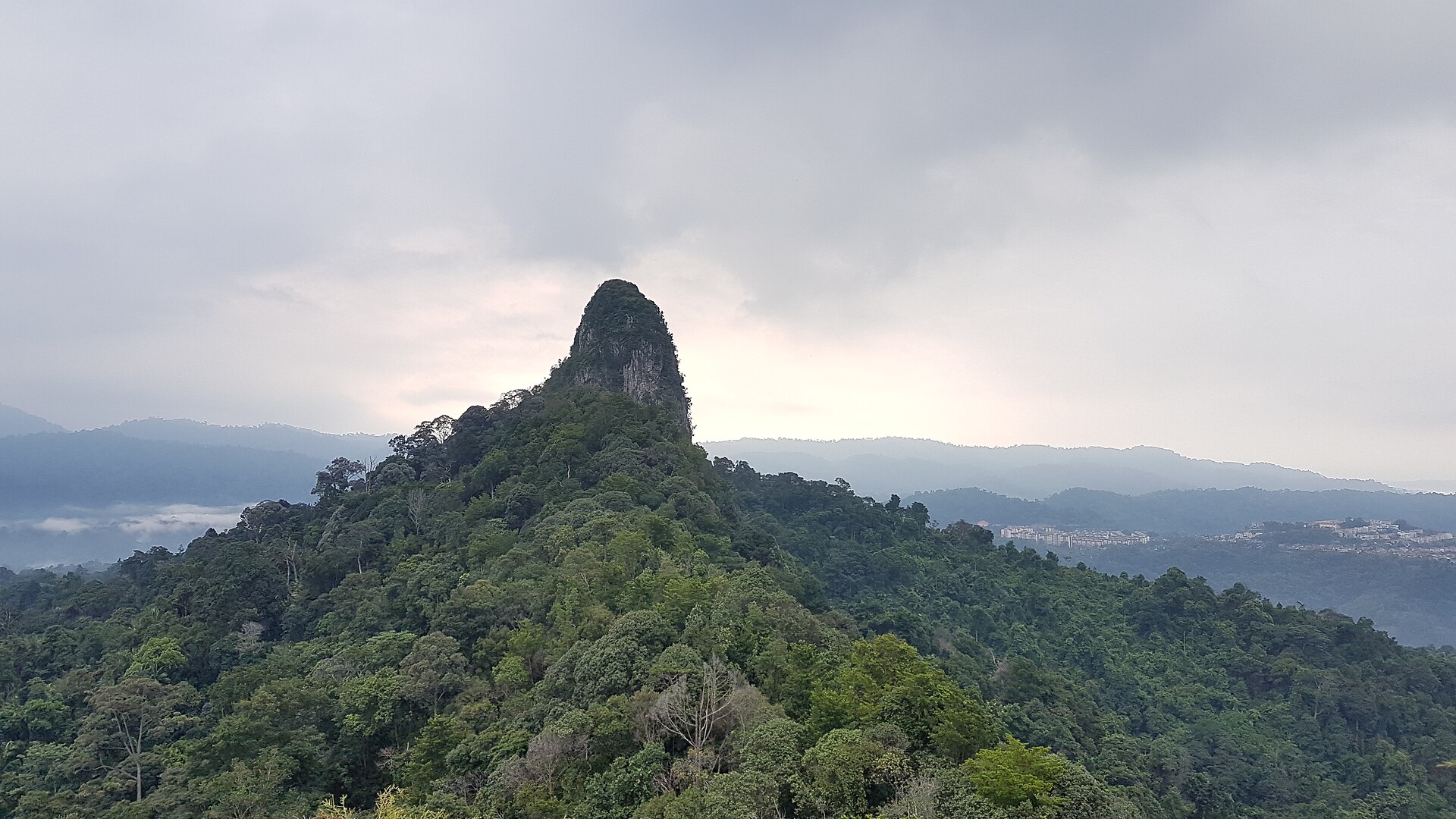
Broga Hill is the hike almost every KL beginner starts with. The climb is short and the reward is huge: a series of grassy false summits looking east over the Semenyih hills, famous for a low blanket of morning cloud when the weather is right.
Most people start in the dark to reach the top for sunrise, then head down before the heat. It gets very busy at weekends, so a weekday dawn is the quieter, cooler choice.
Broga Hill ialah pendakian yang hampir setiap pemula KL mula dengannya. Pendakiannya pendek dan ganjarannya besar: puncak berumput menghadap ke timur di atas bukit Semenyih, terkenal dengan lapisan awan pagi.
Kebanyakan orang mula dalam gelap untuk tiba di puncak menjelang matahari terbit, kemudian turun sebelum panas. Ia sangat sesak pada hujung minggu, jadi subuh hari bekerja lebih tenang dan nyaman.
Trail highlightsTarikan denai
✓Sunrise sea of cloudsLautan awan matahari terbit
✓Grassy open summitsPuncak berumput terbuka
✓Beginner friendlySesuai untuk pemula
✓45 minutes from KL45 minit dari KL
Facilities & what to expectKemudahan & apa dijangka
Paid parking
Food & drink stalls at base
Basic toilets at base
Very busy weekends
Routes up Broga HillLaluan mendaki Broga Hill
Broga Hill can be climbed by more than one route. Pick the one that suits your fitness and time.Broga Hill boleh didaki melalui lebih daripada satu laluan. Pilih yang sesuai dengan kecergasan dan masa anda.
Broga Village Route (main)
Easy to moderate
The famous sunrise route up the clay steps from the Broga village car park.Laluan matahari terbit terkenal menaiki tangga tanah liat dari tempat letak kereta Broga.
📏 4 km return⏱️ 2 to 3 hr
Semenyih / University back route
Moderate
A quieter, longer approach from the Semenyih side near the university.Laluan lebih tenang dan panjang dari sisi Semenyih berhampiran universiti.
📏 ~5 km⏱️ 2.5 to 3 hr
Trailheads, markings and access can change. Check locally or hike with a guide if you are unsure of the route.Permulaan denai, tanda dan akses boleh berubah. Semak setempat atau mendaki dengan pemandu jika tidak pasti.
Topographic map centred on the trailhead. Zoom in to see the contours and the footpaths mapped by OpenStreetMap.Peta topografi berpusat di permulaan denai. Zum masuk untuk melihat kontur dan denai yang dipetakan OpenStreetMap.
🚗 Drive cost from KLKos memandu dari KL
What it costs to drive to the trailheadKos memandu ke permulaan denai
DistanceJarak
45 km
Petrol (one way)Petrol (sehala)
RM7
Return tripPergi balik
RM14
Petrol only, estimated for a typical sedan at 8 L/100km and today's RON95 price (RM1.99/L). Tolls vary by route.Petrol sahaja, dianggarkan untuk sedan biasa pada 8 L/100km dan harga RON95 hari ini (RM1.99/L). Tol berbeza mengikut laluan.
Drive about 45 km southeast of KL toward Semenyih and Broga village. There is a paid parking area near the trailhead run by locals. Come early on weekends, as both the car park and the trail fill up fast before dawn.Pandu kira-kira 45 km ke tenggara KL ke arah Semenyih dan pekan Broga. Ada kawasan letak kereta berbayar berhampiran permulaan denai. Datang awal pada hujung minggu kerana tempat letak kereta dan denai cepat penuh.
🎒 What to bringApa nak bawa
•Headlamp for the pre-dawn climbLampu kepala untuk pendakian sebelum subuh
•1 litre of water1 liter air
•Grippy shoes (the clay is slippery when wet)Kasut bertapak baik (tanah liat licin bila basah)
•Light rain layerLapisan hujan nipis
💡 Hiking tips & safetyTip & keselamatan mendaki
1Start by 5.30am to reach the top for sunrise and beat both the crowds and the heat.Mula menjelang 5.30 pagi untuk tiba di puncak menjelang matahari terbit dan elak orang ramai serta panas.
2The clay steps are very slippery after rain, so take the steeper sections slowly.Tangga tanah liat sangat licin selepas hujan, jadi ambil bahagian curam perlahan-lahan.
3There are food stalls near the car park for a hot drink and breakfast when you come down.Ada gerai makanan berhampiran tempat letak kereta untuk minuman panas dan sarapan.
🛏️ Stay near Broga HillMenginap berhampiran Broga Hill
Doing an early start or making a weekend of it? Find a place to stay near Semenyih and compare live rates.Mula awal atau jadikan hujung minggu? Cari tempat menginap berhampiran Semenyih dan bandingkan harga terkini.
Booking links compare live rates across sites; we may earn a commission at no extra cost to you.Pautan tempahan membandingkan kadar terkini; kami mungkin memperoleh komisen tanpa kos tambahan kepada anda.
It is one of the easier Klang Valley hikes, suitable for beginners and families with older kids. The main challenge is a few short steep clay sections, which are slippery after rain.Ia antara pendakian Lembah Klang yang lebih mudah, sesuai untuk pemula dan keluarga. Cabaran utama ialah beberapa bahagian tanah liat curam yang licin selepas hujan.
How long does Broga Hill take?Berapa lama Broga Hill?
About 45 minutes to an hour up to the main summit, and 2 to 3 hours for the full return including time at the top for sunrise photos.Kira-kira 45 minit hingga sejam ke puncak utama, dan 2 hingga 3 jam untuk perjalanan penuh termasuk masa di puncak untuk gambar matahari terbit.
What time should I start for sunrise?Pukul berapa patut mula untuk matahari terbit?
Start climbing by around 5.30am so you reach the top before the sun comes up, usually around 7am. Bring a headlamp for the dark first section.Mula mendaki menjelang 5.30 pagi supaya tiba di puncak sebelum matahari naik, biasanya sekitar 7 pagi. Bawa lampu kepala untuk bahagian awal yang gelap.
 MyFuelCost